
Back to projects
GIS, Lidar and geospatial data
GIS system extracting roads and buildings from Lidar data for 3D noise models
Design and development of a GIS system that extracts roads and buildings as vectors from Lidar point clouds for use in 3D noise models.
- Client
- Consorzio Dionigi
- Role
- System designer and developer
- Location
- Rome, Italy41.89 N 12.48 E
- Areas
- GIS, Lidar and geospatial data
- Environmental noise and acoustics
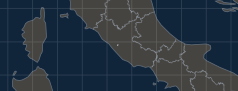
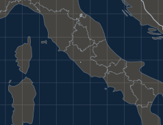
Fig. 1 Rome, Italy. Regional boundaries dashed.
Contact
Write to us
info@tommasitommasi.comFor technical enquiries use the email address; for offers and formal communications use the PEC certified email.
Contact